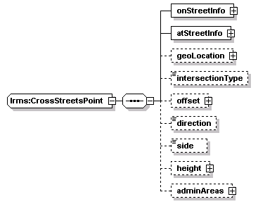
| elements | lrms:CrossStreets/crossStreetsPoint lrms:PointLocation/crossStreetsPoint |
<xs:sequence>
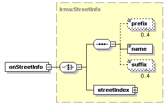
<xs:element name="onStreetInfo" type="StreetInfo"/>
<xs:element name="atStreetInfo" type="StreetInfo"/>
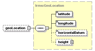
<xs:element name="geoLocation" type="GeoLocation" minOccurs="0"/>
<xs:element name="intersectionType" type="IntersectionType" minOccurs="0"/>
<xs:element name="offset" type="Distance" minOccurs="0"/>
<xs:element name="direction" type="Direction" minOccurs="0"/>
<xs:element name="side" type="Side" minOccurs="0"/>
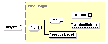
<xs:element name="height" type="Height" minOccurs="0"/>
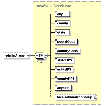
<xs:element name="adminAreas" type="AdminAreaGroup" minOccurs="0"/>
</xs:sequence>
</xs:complexType>