| Documentation |
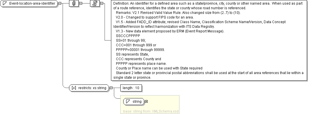
Definition: An identifier for a defined area such as a state/province, city, county or other named area. When used as part of a route reference, identifies the state or county whose road number is referenced.
Remarks: V2.1 Revised Valid Value Rule. Also changed size from (2..7) to (10).
V2.0 - Changed to support FIPS code for an area.
V1.5 - Added FADD_ID attribute; revised Class Name, Classification Scheme Name/Version, Data Concept Identifier/Version to reflect harmonization with ITS Data Registry.
V1.3 - New data element proposed by ERM (Event Report Message).
SSCCCPPPPP
SS=01 through 99;
CCC=001 through 999 or
PPPPP=00001 through 99999.
SS represents State,
CCC represents County and
PPPPP represents place name.
County or Place name can be used with State required
Standard 2 letter state or provincial postal abbreviations shall be used at the start of all area references that lie within a single state or province.
|